
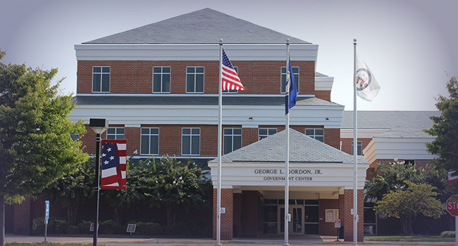
WOODBRIDGE, Va. – Residents in Prince William County, including Woodbridge, Manassas, and Fredericksburg, are being urged to remain alert as thunderstorms with heavy rainfall continue to move through the region Sunday night, creating dangerous flash flooding conditions.
Doppler radar indicated that between 1.5 and 3.5 inches of rain have already fallen across the area, with another half to 1.5 inches possible. A Flash Flood Warning remains in effect until 10:15 p.m. for parts of Northern Virginia, including areas along the I-95 corridor. Flooding is either underway or expected to begin soon, especially in low-lying and poor drainage areas, as well as along small creeks and streams.
Much of the region experienced a cooler-than-normal afternoon, with overcast skies and temperatures lingering in the 60s. Showers and storms are expected to taper off later tonight, giving way to drizzle and fog by morning.
Outlook for the Week Ahead
-
Monday: Cloudy with morning drizzle giving way to scattered showers and thunderstorms in the afternoon. Highs in the upper 60s to low 70s. Mist and patchy fog possible early.
-
Tuesday: Warmer and more humid. Expect showers and thunderstorms by afternoon as a warm front moves through. Highs in the upper 70s to mid-80s.
-
Wednesday: Partly sunny and warm. A chance of afternoon thunderstorms. Highs near 85.
-
Thursday: Continued warm and humid with scattered showers or storms. Highs in the mid-80s.
Safety Tip: Never drive through flooded roadways. “Turn around, don’t drown.” Most flood-related deaths happen in vehicles.

The City of Fredericksburg and Stafford County have both announced water main breaks on Saturday, January 11, 2025.
From Fredericksburg, 10 p.m.:
This article is FREE to read. Please Sign In or Create a FREE Account. Thank you.

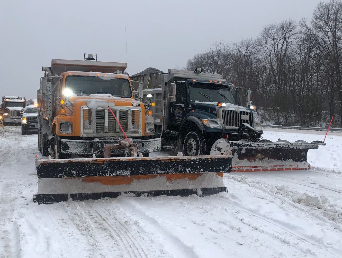
Snow plowing will begin as soon as accumulation occurs, with priority given to main roads, including Route 1, Route 3, Fall Hill Avenue, Princess Anne Street, Caroline Street, and Lafayette Boulevard. Secondary streets will be addressed as conditions allow. Residents are urged to stay off the roads Sunday night and Monday to ensure crews and public safety personnel can operate without unnecessary obstacles.
Fredericksburg Regional Transit (FXBGO!) will operate on a 4-hour delay on Monday, January 6, due to inclement weather. Service may be further adjusted based on road conditions. Updates are available on the FXBGO! website or Facebook page.
Additionally, all City Government Offices and courts will be closed on Monday, January 6, due to the storm.
Here’s the full press release: Read More

The Central Rappahannock Regional Library (CRRL) has announced that its locations will be closed on Monday, January 6, in anticipation of severe weather. Library officials decided to prioritize the safety of staff and patrons as forecasts predict hazardous conditions throughout the region.
CRRL serves the communities of Fredericksburg, Stafford County, Spotsylvania County, and Westmoreland County through its network of branches. The library system offers an array of services, including access to books, digital resources, educational programs, and community events. With its mission to provide opportunities for learning, growth, and connection, the CRRL has become a cornerstone for residents seeking knowledge and enrichment.
In addition to traditional library services, CRRL provides resources such as free Wi-Fi, public computers, and meeting spaces for local organizations. The library also hosts a variety of programs catering to diverse audiences, including storytimes for children, technology training for adults, and book clubs for all ages.
While all physical locations will remain closed on Monday, many of the library’s digital services will still be available. Patrons can access eBooks, audiobooks, and other online resources through the library’s website. CRRL encourages the public to explore these offerings from the safety and comfort of their homes during inclement weather.
Due to the winter storm affecting our region and expected significant snow accumulation, Stafford County offices, facilities, courts, public schools, and both locations of the R-Board/Regional Landfill (Eskimo Hill and Belman Road) will be closed on Monday, January 6, 2025.
The Virginia Department of Transportation has urged motorists to stay off the roads due to hazardous conditions from snow and ice. The R-Board will monitor weather conditions and provide updates on their operating status through their website and social media channels. Emergency updates, links, and resources are available on Stafford’s emergency information page.
![]()
Manassas Park City Schools (MPCS) announced that all schools will be closed on Monday, citing snowy conditions as the reason for the closure.
The announcement on the division’s website stated, “All Manassas Park City Schools will be closed tomorrow, Monday, January 6th, due to snowy conditions. Code RED for employees.”
The closure affected more than 3,000 students enrolled in the city’s four schools, which include Cougar Elementary, Manassas Park Elementary, Manassas Park Middle School, and Manassas Park High School. MPCS serves the small, tight-knit community of Manassas Park and provides a range of academic and extracurricular programs designed to meet the needs of its students.
A Code RED designation means that all school employees, except those specifically designated for inclement weather duties, are not required to report to work.
The school division will continue to monitor weather conditions and communicate any updates regarding the resumption of regular operations through its website and social media platforms. Families are encouraged to stay tuned for further announcements.
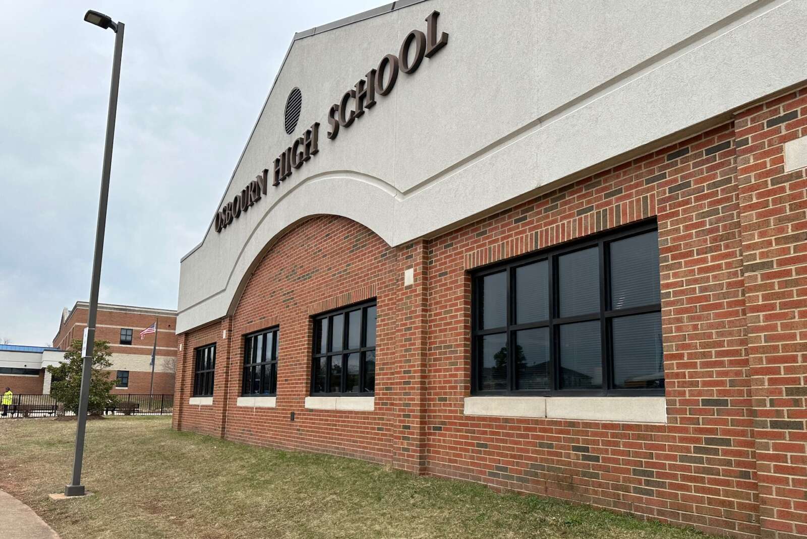
Manassas City Public Schools (MCPS) announced that all schools will be closed on Monday, due to forecasted inclement weather.
The announcement, shared on the district’s official account on X, formerly known as Twitter, noted, “Manassas City Public Schools will be closed Jan. 6, 2025, due to forecasted inclement weather. Code BLUE for employees.”
The closure affects approximately 7,000 students across the city’s nine schools, including five elementary schools, one intermediate school, one middle school, and one high school. MCPS serves the city of Manassas with a variety of academic programs designed to meet the needs of a diverse student population.
The Code Blue designation means that employees are not required to report to work unless specifically notified by their supervisors. Further updates regarding school operations will be provided through the district’s official communication channels, including its website and social media accounts.
Parents and students are encouraged to monitor these updates as weather conditions develop.

Northern Virginia Community College (NOVA), the largest community college in Virginia and one of the largest in the nation, has declared a “Code Purple” for Monday, January 6, 2025. All classes and services will be conducted online, with no in-person operations at any of the college’s six campuses or satellite centers.
The announcement, made on X, formerly known as Twitter, stated, “All #NOVA campuses are operating virtually. Classes and services are online only.” The move impacts more than 70,000 students enrolled across the college’s campuses in Alexandria, Annandale, Loudoun, Manassas, Springfield, and Woodbridge.
NOVA offers a wide range of academic and workforce training programs and is a cornerstone of education in Northern Virginia. Students and staff are advised to check the college’s official communication channels for updates regarding the resumption of regular campus operations.

Residents across the area are preparing for a major winter storm that is expected to bring significant snowfall beginning this evening and continuing into Tuesday. The National Weather Service has upgraded Winter Storm Watches to Warnings, signaling potential snow accumulations of 5 inches or more in many areas.
Current Conditions
The day began with sunny skies, but clouds are expected to increase throughout the afternoon as a powerful winter storm system approaches Oklahoma. High temperatures today will remain in the 30s, with colder conditions in higher elevations. Gusty west winds persist but are less intense than previous days.
Storm Timeline
This evening, snow may begin in the southwestern parts of the region after 3 p.m., though most areas will see precipitation start closer to 6 p.m. or later. Overnight, snowfall rates could reach 1 to 2 inches per hour during the storm’s peak intensity late tonight into Monday morning.
Snow will continue through Monday morning before becoming lighter in the afternoon as the storm weakens. A secondary burst of moderate to heavy snow is possible Monday night as the system’s upper-level low moves overhead. By Tuesday, lighter upslope snow showers may linger, with widespread refreezing expected overnight as temperatures drop into the teens.
Snowfall Predictions
The storm’s exact impact depends on several factors, including where the heaviest snow bands form and how far north warmer air intrudes. Northern Maryland could see lighter snowfall or potentially some of the highest totals if the northern snow bands intensify. Areas near the I-66 corridor may experience some mixing of sleet or freezing rain, reducing snow totals. Central Virginia and southern Maryland are expected to see the heaviest snowfall, potentially nearing a foot in some locations.
Refreezing and Road Conditions
With temperatures dipping into the teens Tuesday night, widespread refreezing of untreated surfaces is likely, creating hazardous travel conditions. Residents are urged to stay off the roads during the storm and prepare for potential disruptions.
We’ll be posting more storm-related news in the coming hours, so stay tuned.
The National Weather Service has issued a winter storm warning for portions of Washington, D.C., central Maryland, and northern Virginia. The warning is effective from 10 p.m. Sunday, January 5, through 1 a.m. Tuesday, January 7.
The National Weather Service said we should expect:
- Snow and sleet accumulation between 5 and 9 inches, with isolated areas receiving up to 12 inches in heavy snow bands.
- Light ice accumulation is possible near Interstate 66.
- Snow will begin late Sunday, intensify overnight, and may mix with sleet and freezing rain on Monday morning. A lull in precipitation is expected during the afternoon.
Roads, bridges, and overpasses will likely become slick and hazardous, making travel difficult. Monday morning and evening commutes are expected to be affected.
Travelers are urged to postpone non-essential travel. If travel is unavoidable, prepare a winter storm kit, including tire chains, flashlights, food, water, blankets, and other emergency supplies. Stay informed by checking road conditions and monitoring weather updates.
This potent winter storm stems from a complex weather system involving a closed upper low and a surface low tracking eastward. The storm will bring an initial burst of snow Sunday night, with snowfall rates of 1–2 inches per hour in the heaviest bands. On Monday, warmer air may introduce a mix of sleet and freezing rain, particularly south of I-66 and U.S. Route 50.
Uncertainty remains regarding the exact path of the system, with models presenting differing scenarios. Regardless, significant snow and mixed precipitation impacts are expected for most of the region.
Preparedness Tips:
- Postpone non-essential travel.
- Ensure your vehicle is winter-ready and stocked with emergency supplies.
- Stay informed by monitoring updates from the National Weather Service and local authorities.
This storm is shaping up to be a significant event. Stay tuned to Potomac Local News for updates as the situation evolves.