
 Prince William Parks and Recreation sponsors today’s weather forecast.
Summer Job Alert: Parks and Recreation Hiring Seasonal Workers Now! Want to earn some extra cash this summer and enjoy your job at the same time? PWC Parks and Recreation is now hiring for seasonal jobs.. Camp Counselors, Lifeguards, Cooks and more…
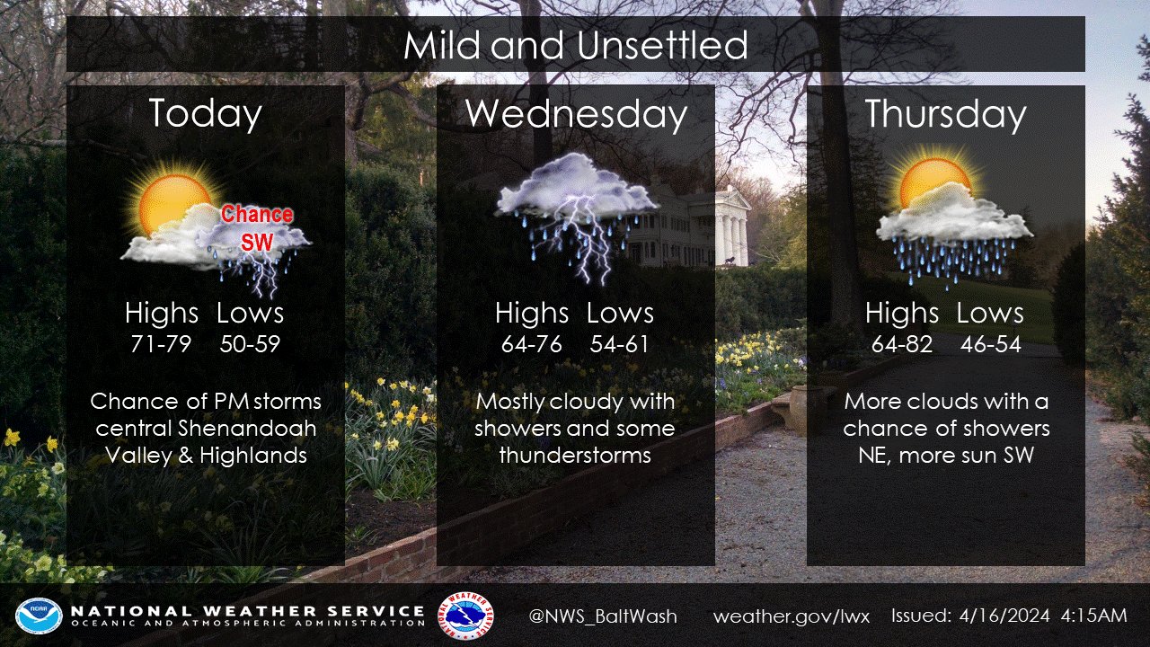 As a cold front leisurely makes its way southward, residents across the region can expect a shift in weather patterns, according to forecasts from the National Weather Service. The front, initially pushing below the I-66/U.S. 50 corridor is anticipated to stall near the Virginia/North Carolina border, marking the transition to cooler temperatures and increased precipitation chances.
The front’s departure is accompanied by a noticeable drop in dew point, signaling the arrival of drier air. Despite the recent warmth, temperatures are expected to dip to more seasonal levels, with highs in the low to mid-70s across much of the area, a welcome change from the 80-degree temperatures observed earlier this week.
Throughout the afternoon and evening, the Allegheny Highlands and Shenandoah Valley may experience scattered showers and isolated thunderstorms. While the risk of severe weather remains low due to weaker shear profiles, residents in these areas are advised to stay weather-aware.
Looking ahead, the weather pattern is set to become more unsettled as the week progresses. Wednesday brings the potential for showers, with thunderstorms possible in the late afternoon and evening hours. Highs are expected to hover around 73 degrees, with southeast winds of 5 to 7 mph.
Thursday sees the passage of a weak cold front, followed by the arrival of a stronger cold front early in the weekend. These fronts are likely to bring further chances of precipitation, albeit with varying intensities.
Despite the inclement weather on the horizon, there is a silver lining for outdoor enthusiasts. High pressure is forecasted to return on Sunday and into early next week, offering a respite from the unsettled conditions.
