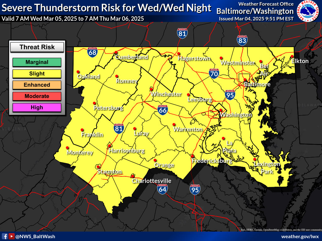
According to the National Weather Service (NWS), a potent weather system is set to impact the region today, bringing strong storms and gusty winds.
A deepening area of low pressure and an associated cold front will move across the region Wednesday, ushering in a line of showers and thunderstorms. Some storms may become severe, followed by a prolonged period of strong winds from Wednesday night into Thursday afternoon.
Severe Weather Timing and Potential Hazards
The NWS has adjusted its forecast to account for two rounds of potential severe weather on Wednesday. The first wave of storms is expected to arrive late Wednesday morning, primarily impacting areas along and west of the Blue Ridge between 11 a.m. and 1 p.m. The storms will then advance eastward toward metropolitan areas between noon and 4 p.m.
Meteorologists warn that damaging wind gusts will be the primary threat with this initial line of storms, with the possibility of isolated tornadoes embedded within the squall line. The second round of storms may develop later in the afternoon as a mid-level dry slot allows for renewed surface heating and instability. If additional storms do form, they could be supercellular in nature, posing risks of damaging winds, large hail, and a few tornadoes. The highest potential for these storms will be west of the Blue Ridge and along the Interstate 81 corridor.
Wind and Post-Storm Conditions
Gusty northwest winds will become the primary concern as the cold front clears the region late Wednesday night. Winds will strengthen throughout the area, with gusts reaching 30-50 mph, particularly on Thursday morning and afternoon. A Wind Advisory has already been issued for the higher elevations of the Alleghenies and the Blue Ridge, where gusts could reach 50 mph. Additional advisories may be required for other parts of the region.
Wintry Conditions in Higher Elevations
On the back side of the system, precipitation will linger over the mountains, transitioning to snow early Thursday. The western slopes of the Allegheny Front may see snow accumulations of 1-4 inches, which could cause hazardous travel conditions along the I-68 and US-219 corridors. Strong post-frontal winds will contribute to reduced visibility and blowing snow in these areas.
Looking Ahead
High pressure is expected to briefly build into the region on Friday, providing a break from weather before another low-pressure system and cold front move through on Saturday. As broad high pressure returns, more settled conditions are forecast for Sunday and into early next week.
Precautionary Measures
Residents are urged to stay informed and take precautions before the incoming weather system. Secure outdoor objects that strong winds could blow away, prepare for possible power outages, and remain weather-aware, especially if traveling in affected areas.
Recent Stories
A Prince William County Supervisor is calling for a review of how the Cities of Manassas and Manassas Park contribute to the operation of the Circuit Court Clerk’s Office, citing concerns about equity as the office expands its public service offerings and technology footprint.

You’ve heard it before: Location, Location, Location. But according to seasoned Realtor Mark Worrilow, that old real estate rule just doesn’t cover it anymore.
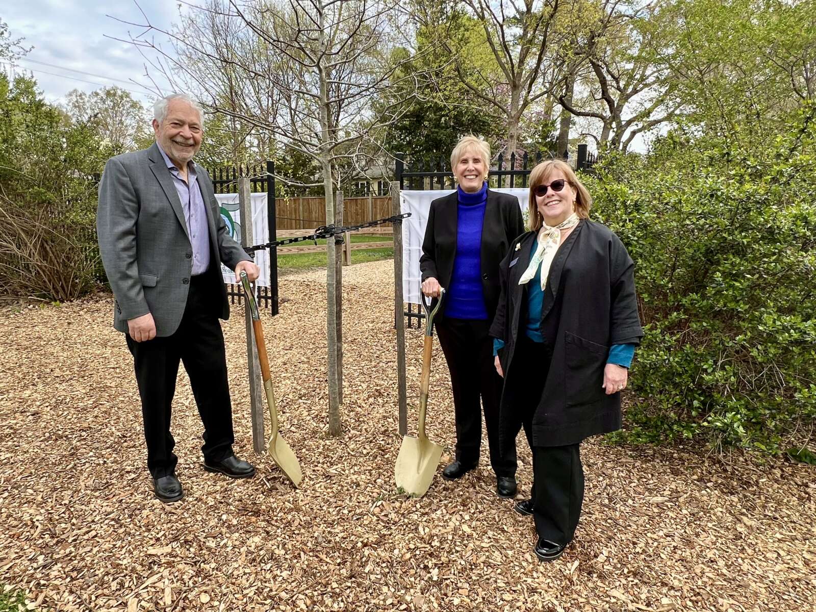
The Fredericksburg Area Council of Garden Clubs and the City of Fredericksburg celebrated the 37th Annual Arbor Day on Thursday, April 10, 2025, with a special tribute to local environmental champions Anne and Carl Little, along with the organization Tree Fredericksburg.

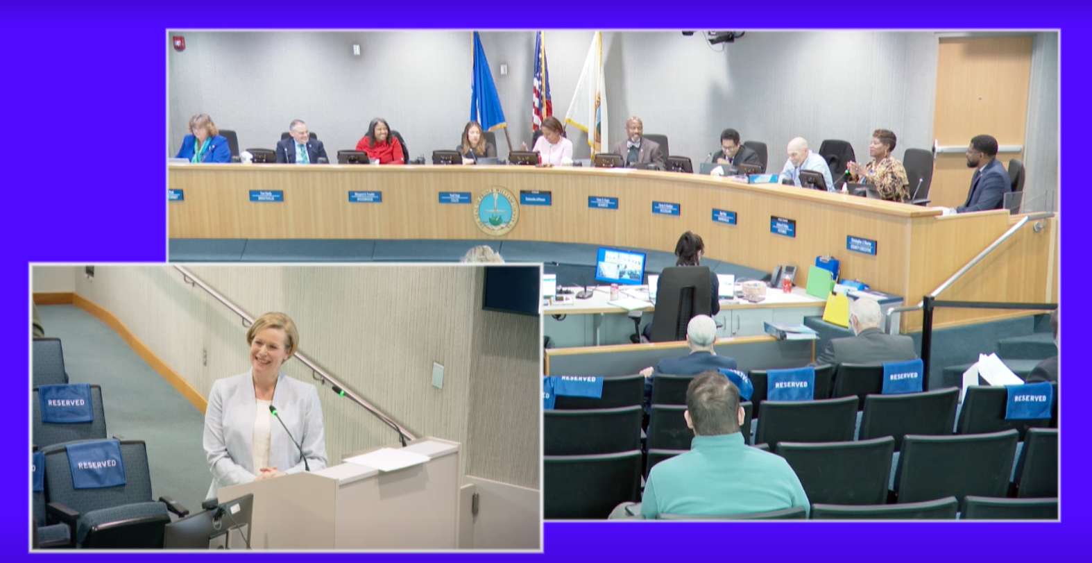
The Manassas City School Board meeting on Tuesday, April 8, opened with a series of uplifting spotlights showcasing the accomplishments of students and staff across the school division. From regional…
Inspired by local physicians who were among the nation’s first to adopt the concierge medicine model, Northern Virginia is now a hub for its surging popularity. These leading physicians are redefining the patient experience with same-day appointments, direct availability, unhurried visits, and deeply personalized care:
After almost 40 years in practice, Manassas-based Internist John Cary, MD’s change to concierge medicine enabled focused attention for each individual, and the launch of his innovative diet program for those with type 2 diabetes. “The goal is to promote enough weight loss to reach an acceptable A1C of 6% with no medication,” he explains. “Achieving that can take several months of very close follow up. As I tell my patients, we are in this together.”
Jay Tyroler, MD considers his patients quite literally as family. “I believe there’s nothing more honorable than helping patients when they’re sick, or scared, or feeling vulnerable, and I care for them exactly as I would my loved ones.” Whether for a specialist referral, urgent health issue or ongoing follow up, “My patients know I’m always just a phone call away.”

Get More from your Fitness with IM=X® Pilates & Fitness King Farm!
Help us Celebrate our 5 Year Anniversary by joining our OPEN HOUSE
When: April 27th 11:45AM
Your Weight Matters National Convention

Hosted by the Obesity Action Coalition (OAC) since 2012, this highly-anticipated gathering is the nation’s leading gathering focused on empowering individuals with science-based education, support and practical tools for managing weight and improving health.
This unique Convention truly has something
Cascade Landing Community Grand Opening

You’re invited to celebrate the Official Grand Opening of our newest community Cascade Landing in Dumfries, VA. Join us April 12th from 11 AM – 6 PM and fall for your new townhome!
Enjoy our grand opening celebration, complete with