
 Prince William Parks and Recreation sponsors today’s weather forecast.
Summer Job Alert: Parks and Recreation Hiring Seasonal Workers Now! Want to earn some extra cash this summer and enjoy your job at the same time? PWC Parks and Recreation is now hiring for seasonal jobs.. Camp Counselors, Lifeguards, Cooks and more…
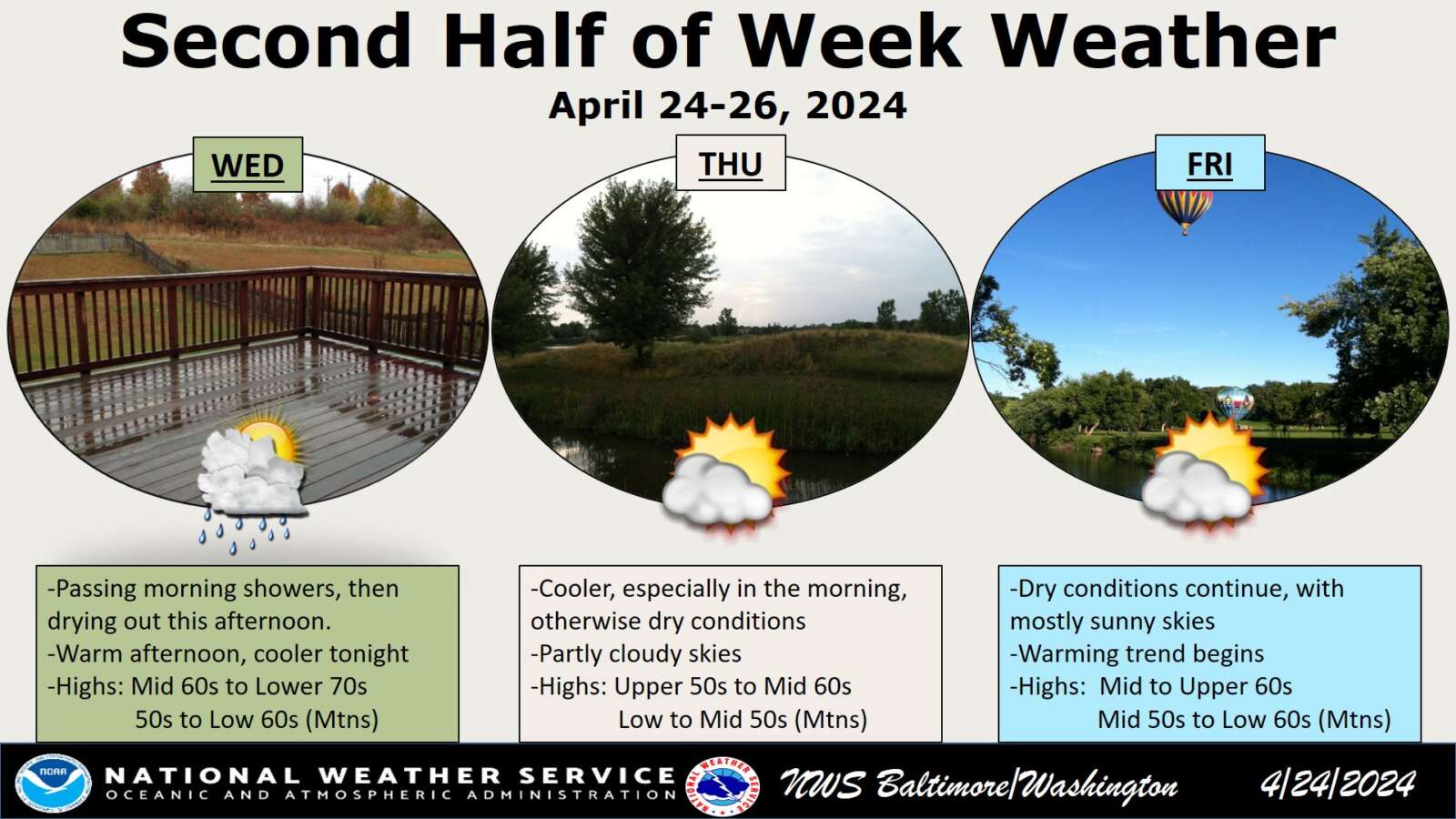
As a cold front sweeps through the region today, residents can expect a change in weather patterns, according to the latest forecast from the National Weather Service. The front is set to bring isolated to scattered rain showers, primarily along the I-95 corridor and eastern zones, with a chance of a rumble of thunder as it moves through. The highest likelihood of thunderstorms is predicted for central Maryland and much of Northeast Maryland, where the Storm Prediction Center has issued a General Risk advisory.
Temperatures are expected to vary across the region, with highs ranging from the middle 60s to lower 70s from west to east. As the front passes through, temperatures will drop, leading to cooler conditions tonight. Patchy frost could develop depending on the extent of clearing behind the front, with lows expected to range from the upper 30s to middle 40s.
Following the passage of the cold front, dry conditions will return on Thursday through Friday evening as high pressure builds into the area. Thursday will see cooler temperatures, with highs in the upper 50s and lower 60s, while Friday’s highs will remain cool, ranging from the upper 50s to lower 60s.
Overnight temperatures will be chilly, with Thursday night expected to be cooler than Friday night. However, Friday night’s lows could be higher than initially forecasted, contingent on the development and progression of a warm front advancing northeastward into the region. This warm front brings the possibility of light rain in spots Friday night.
