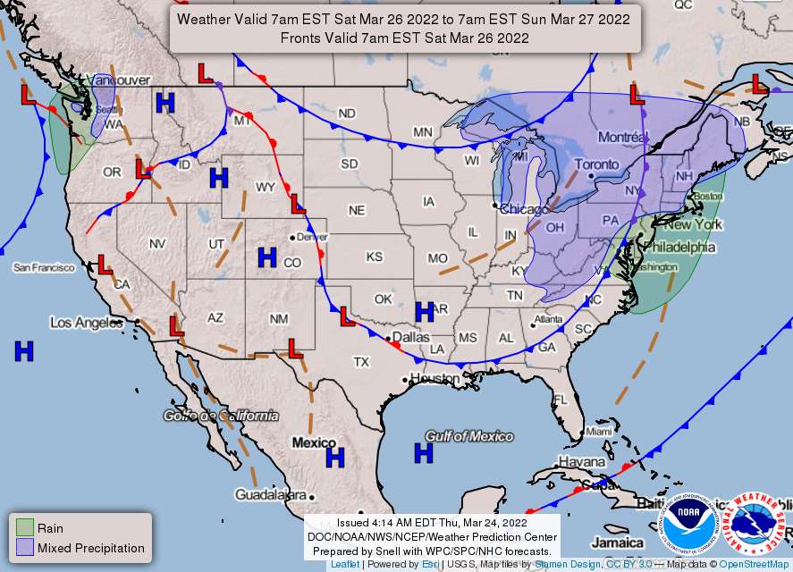
Here’s the short-term forecast from the National Weather Service:
Friday
Sunny in the morning, then becoming partly sunny. Highs around 60. West winds 10 to 15 mph.
Friday Night
Partly cloudy in the evening, then becoming mostly cloudy. Lows in the lower 40s. West winds 5 to 10 mph.
Saturday
Mostly sunny with a 50 percent chance of rain. Highs in the mid 50s. West winds 10 to 15 mph with gusts up to 25 mph.
Saturday Night
Partly cloudy with a chance of rain in the evening, then mostly clear after midnight. Lows in the mid 30s. Northwest winds 10 to 15 mph with gusts up to 25 mph. Chance of rain 50 percent.
Sunday
Mostly sunny. Highs in the upper 40s.
Sunday Night
Mostly clear. Lows in the mid 20s.
Yes, that’s right — expect temperatures in the mid-20s on Sunday night, following a cold front that will move through the region in the afternoon. It’s possible some areas could see wind chill advisories.
On Monday, conditions will be dry and cold, with temperatures in the 40s during the day. At night, forecasters expect the mercury to drop down to the upper 20s.
On Tuesday, things get interesting, as forecasters are watching the chance for wintery weather in our region. According to the National Weather Service, some forecast models show the possibility of winter weather for a larger portion of the region.
However, it may be too warm to snow, as “there is a large spread in potential temperatures for the day on Tuesday, from the upper 30s to even low 70s in some guidance,” the weather service states.
We’ll be watching for updates from the weather service and will report them as it updates its forecast.
On March 13, more than two inches of snow fell in Prince William and Stafford counties. The most significant snowstorm of the winter came on January 3, when more than a foot of snow fell in our area, leading to massive power outages and the closure of a portion of Interstate 95, from Dumfries to Kings Dominion.


