From the National Weather Service:
…FLASH FLOOD WATCH REMAINS IN EFFECT THROUGH THIS EVENING…
The Flash Flood Watch continues for
*In Virginia, Albemarle, Arlington/Falls Church/Alexandria, Augusta, Central Virginia Blue Ridge, Clarke, Culpeper, Eastern Highland, Eastern Loudoun, Fairfax, Frederick, Greene, Madison, Nelson, Northern Fauquier, Northern Virginia Blue Ridge, Orange, Page, Prince William, Rappahannock, Rockingham, Shenandoah, Southern Fauquier, Spotsylvania, Stafford, Warren, Western Highland, and Western Loudoun. In West Virginia, Eastern Pendleton, Hardy, and Jefferson.
* Through this evening
* Areas of heavy rain fell across the watch area last night. Additional heavy rainfall is expected this afternoon as slow-moving thunderstorms develop by midday and slide east during
the afternoon and evening. Some areas could receive an additional 1 to 3 inches of rain, which could result in flash flooding.PRECAUTIONARY/PREPAREDNESS ACTIONS…
A Flash Flood Watch means that conditions may develop that lead to flash flooding. Flash flooding is a very dangerous situation.
You should monitor later forecasts and be prepared to take action should Flash Flood Warnings be issued.
The Flash Flood Watch has been upgraded to include the following counties: Washington, Pendleton, Berkeley and Morgan. The Flash Flood Watch begins today at 12:00 pm and will run through 12:00 am tonight. pic.twitter.com/ljtUqrXpvT
— NWS Baltimore-Washington (@NWS_BaltWash) June 5, 2020
This Afternoon
Showers and thunderstorms likely, mainly after 5 pm. Some of the storms could produce gusty winds and heavy rain. Mostly cloudy, with a high near 88. South wind around 10 mph. The chance of precipitation is 60%. New rainfall amounts between a tenth and quarter of an inch, except higher amounts possible in thunderstorms.
Tonight
Showers and thunderstorms likely before 11 pm, then a chance of showers between 11 pm and 2 am. Some of the storms could produce gusty winds and heavy rain. Patchy fog after 2 am. Otherwise, mostly cloudy, with a low around 68. Southwest wind around 6 mph. The chance of precipitation is 60%. New precipitation amounts between a quarter and half of an inch possible.
Saturday
A chance of showers and thunderstorms, mainly after 5 pm. Patchy fog before 8 am. Otherwise, mostly sunny, with a high near 92. West wind 5 to 9 mph. The chance of precipitation is 30%.
Saturday Night
A chance of showers and thunderstorms, mainly before 8 pm. Partly cloudy, with a low around 63. North wind around 8 mph. The chance of precipitation is 30%.
Recent Stories

A small plane crashed Wednesday afternoon in a residential area of Spotsylvania County, marking the third major emergency response in the region this week.
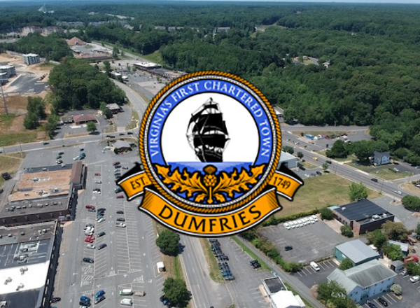
The Dumfries Town Council is weighing the creation of its own Economic Development Authority (EDA), aiming to enhance local business growth and expand economic tools available within town limits.

A federal grand jury has indicted a Woodbridge man on charges of obstructing the Internal Revenue Service and willfully failing to file tax returns over multiple years, federal prosecutors announced Tuesday.
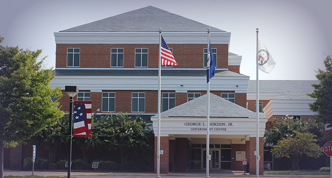
Stafford County’s George L. Gordon, Jr. Government Center is set to undergo major renovations following a unanimous vote by the Board of Supervisors on Tuesday.

Get More from your Fitness with IM=X® Pilates & Fitness King Farm!
Help us Celebrate our 5 Year Anniversary by joining our OPEN HOUSE
When: April 27th 11:45AM

The New Dominion Choraliers
Have a Show-Stopping Concert in Store!
Join us on Saturday, May 3 or Sunday, May 4 as the New Dominion Choraliers put on a concert with fun and fabulous songs straight from your favorite Broadway shows and Big Screen musicals. Selections from Pixar, Disney, and Rodgers and Hammerstein offer familiar tunes across the generations, as well as selections from Wicked, Les Miserables, The Greatest Showman, and more!
Your Weight Matters National Convention

Hosted by the Obesity Action Coalition (OAC) since 2012, this highly-anticipated gathering is the nation’s leading gathering focused on empowering individuals with science-based education, support and practical tools for managing weight and improving health.
This unique Convention truly has something
Cascade Landing Community Grand Opening

You’re invited to celebrate the Official Grand Opening of our newest community Cascade Landing in Dumfries, VA. Join us April 12th from 11 AM – 6 PM and fall for your new townhome!
Enjoy our grand opening celebration, complete with