
Update 2:30 p.m.
A severe thunderstorm watch has been issued for parts of DC, MD, PA, VA, WV until 10 PM EDT pic.twitter.com/J4Fe0ySwqe
— NWS Severe Tstorm (@NWSSevereTstorm) June 4, 2020
Original post 11 a.m.
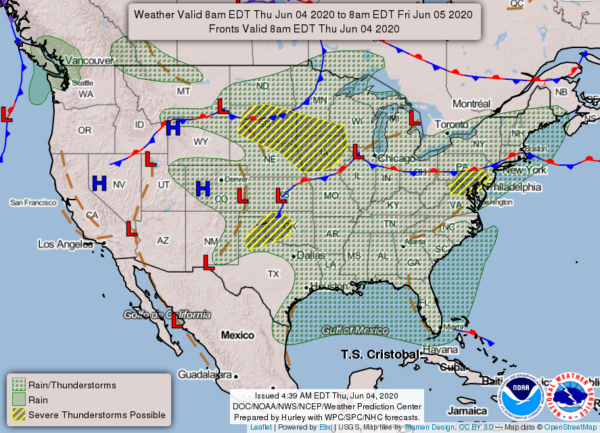
We’ve got a hot and stormy day in-store today.
Still very warm today but not quite as hot as yesterday. However, there is a greater risk of late-day showers and thunderstorms, some of which could be severe. Keep aware of the weather today, especially this afternoon and evening. pic.twitter.com/eS4Lr1BtSG
— NWS Baltimore-Washington (@NWS_BaltWash) June 4, 2020
Here’s the forecast from the National Weather Service:
Today
Scattered rain before noon, then scattered showers and thunderstorms after 2pm. Some of the storms could produce gusty winds. Mostly sunny, with a high near 92. South wind 5 to 9 mph. Chance of precipitation is 30%.
Tonight
Showers and thunderstorms likely before 2am, then a slight chance of showers between 2am and 5am. Some of the storms could produce gusty winds. Mostly cloudy, with a low around 69. Southwest wind 6 to 9 mph. Chance of precipitation is 60%. New rainfall amounts between a tenth and quarter of an inch, except higher amounts possible in thunderstorms.
Friday
A slight chance of showers between 8am and noon, then a chance of showers and thunderstorms after noon. Partly sunny, with a high near 91. South wind 7 to 9 mph. Chance of precipitation is 40%.
Friday Night
A chance of showers and thunderstorms before midnight. Mostly cloudy, with a low around 70. Southwest wind 5 to 8 mph. Chance of precipitation is 50%.
Saturday
A slight chance of showers, then a chance of showers and thunderstorms after noon. Partly sunny, with a high near 92. West wind 3 to 8 mph. Chance of precipitation is 30%.
Saturday Night
A slight chance of showers and thunderstorms before midnight. Partly cloudy, with a low around 63. Chance of precipitation is 20%.
Sunday
Sunny, with a high near 82.
Sunday Night
Mostly clear, with a low around 57.
